Understanding how marine environments respond over time is critical where infrastructure interfaces with sensitive coastal ecosystems. At Army Bay, Babbage delivers a long-term benthic habitat monitoring programme to track ecological conditions in the vicinity of a wastewater outfall in the Whangaparāoa Passage.
Babbage Ecology (Bioresearches) undertakes repeat seabed surveys to build a detailed picture of subtidal habitats and benthic communities. Using underwater video transects and drop-camera photography, the team maps features such as horse mussel beds, sponge assemblages, and sediment-dominated environments, creating a consistent record of ecological conditions over time.
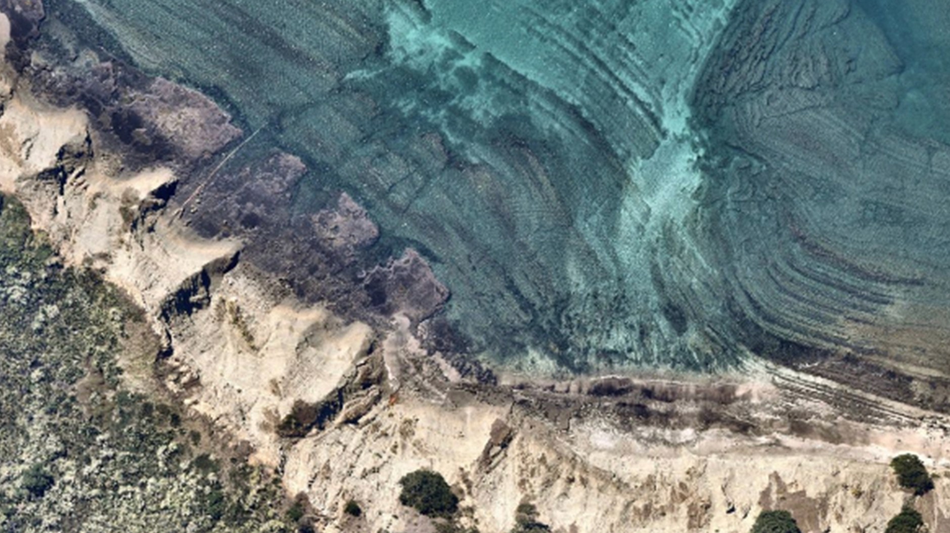
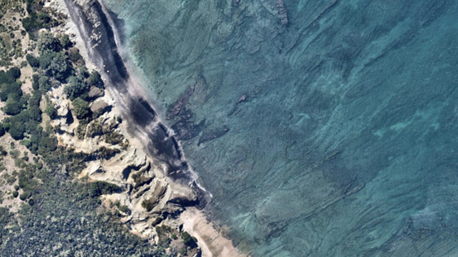
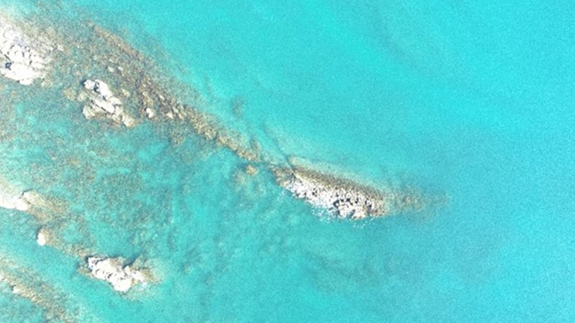
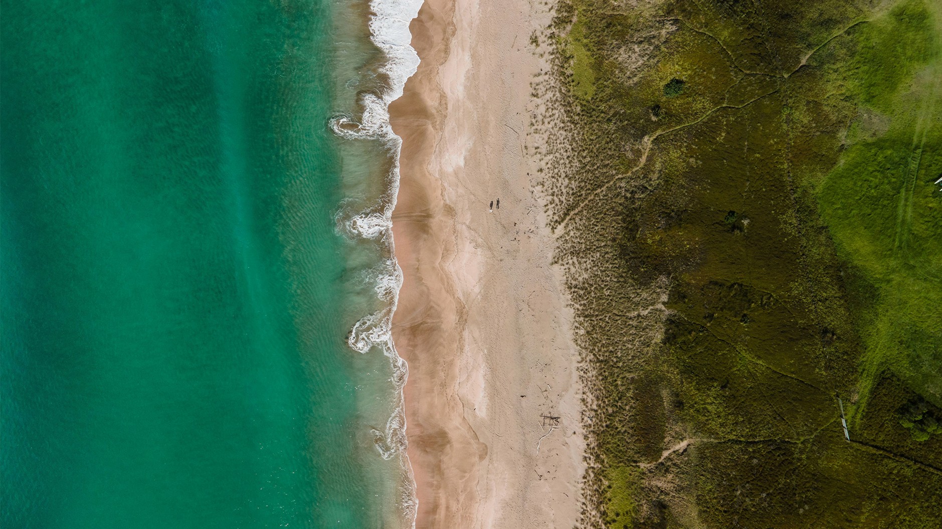
This work is complemented by Unmanned Aerial Vehicle (UAV)-based aerial surveys delivered by Babbage’s Land Surveying Team. High-resolution drone imagery is used to map coastal algal coverage along the Whangaparāoa coastline, extending the monitoring programme into the nearshore environment. The integration of aerial and in-water datasets provides a more complete understanding of ecological patterns and changes across the coastal margin.
Working in a dynamic marine setting, characterised by strong currents, variable visibility, and challenging survey conditions, requires careful planning and low-impact methods. UAV operations introduce additional complexities, including managing glare and reflection over water and capturing consistent imagery from shore-based launch points. Despite these challenges, the combined approach delivers reliable, repeatable datasets that support meaningful year-on-year comparison.
This integrated monitoring programme provides Watercare with a robust evidence base to understand environmental trends, assess coastal health, and support informed management of the outfall and surrounding marine environment.